Your chance to make West Yorkshire streets safer and more accessible for cycling and walking
New online tool launched to support move to more people travelling by bike or on foot
8 June 2020
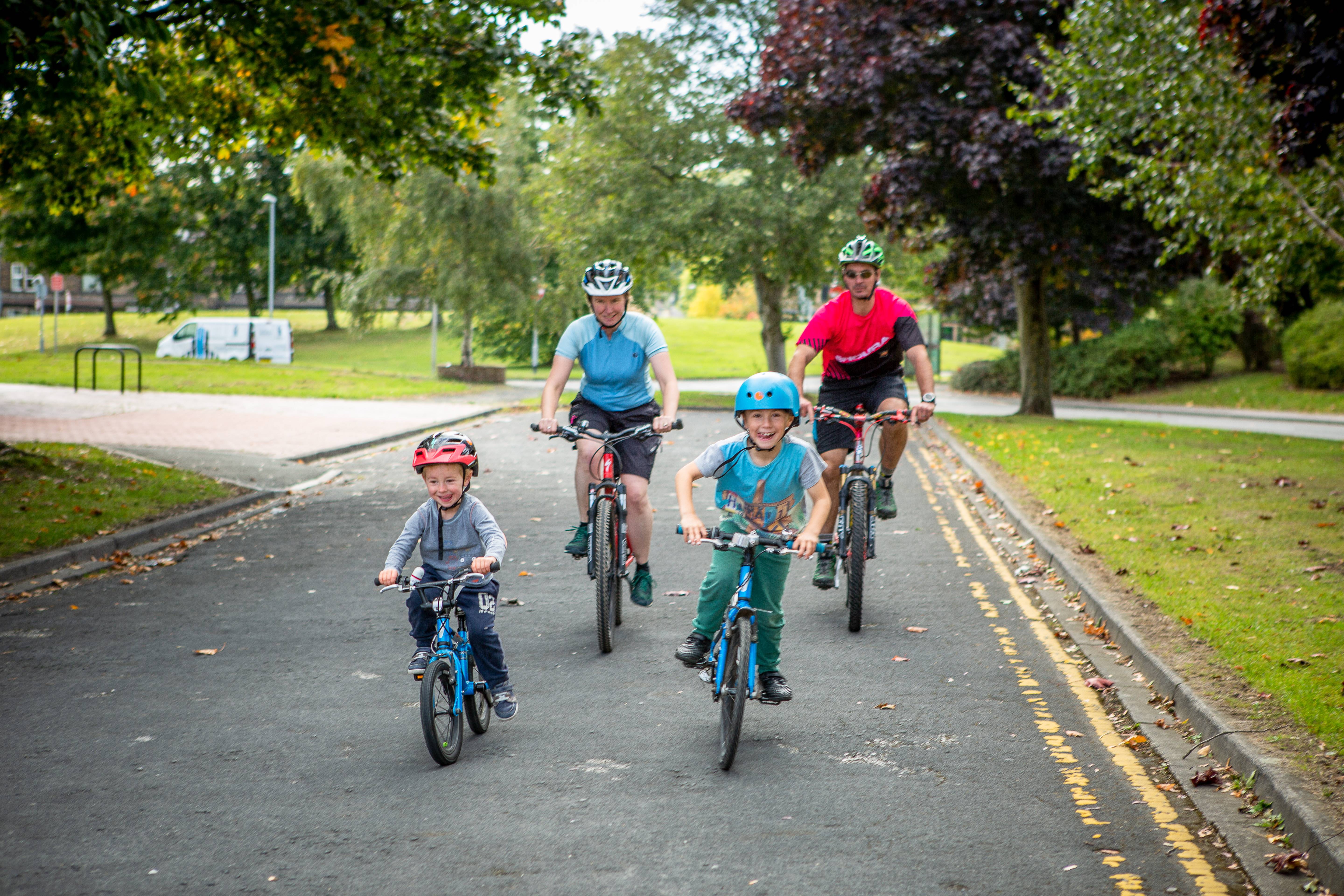
As lockdown restrictions encourage more of us to seek active ways to travel around the region, a new interactive map has been launched to help residents highlight where improvements to roads, streets and town centres are needed to help us all make more journeys by bike or on foot.
The West Yorkshire Combined Authority, in partnership with local authorities, has created the online, interactive tool to help create safer streets for cycling and walking as part of ongoing measures to counter the transport challenge created by COVID-19, increasing capacity on public transport for those who really need it.
Using the map, residents will be able to highlight streets or areas where any issues could be overcome with trial or temporary measures to help people cycle and walk more, while maintaining social distance. The information collected will be used by the Combined Authority and partner councils to inform a West Yorkshire-wide programme of short and longer-term improvements.
The Combined Authority and partner councils are working on proposals to make significant changes to the streets across West Yorkshire, which will be submitted to Government, in order to access £12.5 million funding through the recently announced Emergency Active Travel Fund.
Focusing on the local authority areas of Calderdale, Kirklees and Wakefield, the tool will link to and complement existing mapping facilities already put in place by Bradford Council and Leeds City Council.
Asking people what would help them make more journeys by bike and on foot will put us in the best possible position to provide local solutions to local needs and make cycling and walking a viable option for short, everyday trips – particularly while social distancing remains in force.
Chair of the West Yorkshire Combined Authority's Transport Committee
Cllr Kim Groves, Chair of the West Yorkshire Combined Authority’s Transport Committee, said: “Through our CityConnect programme, we have invested significantly to enable more people to cycle and walk, which will be absolutely key to our region’s recovery from the COVID-19 pandemic.
“Asking people what would help them make more journeys by bike and on foot will put us in the best possible position to provide local solutions to local needs and make cycling and walking a viable option for short, everyday trips – particularly while social distancing remains in force.
“By 2027, we are aiming to increase the number of trips people in our region make on bike by 300%. This will not only boost people’s health and save them money, it will also help us to achieve our aim of being a net zero carbon economy.
“Members of the public will be able to add comments about their journeys to work, school or to the local shops, where measures such as a new cycle route, wider pavements, better crossings and secure bike parking could help.”
The map can also be used to identify where more space can be given to enable social distancing, including areas for queuing outside shops and other services, as well as reducing traffic near schools.