The missions have been informed by our values and ambitions, whilst being underpinned by robust evidence. They will focus all our work for the long-term and set the framework for our strategies and investments for the future.
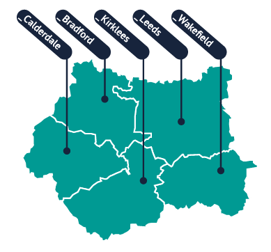
The Plan has been developed and will be driven forward by the West Yorkshire Combined Authority and five Local Authorities, in consultation and partnership with a range of private, public, and voluntary and community sector partners. No one organisation can deliver these ambitions, it is only by the whole region working together that our vision will be realised.